
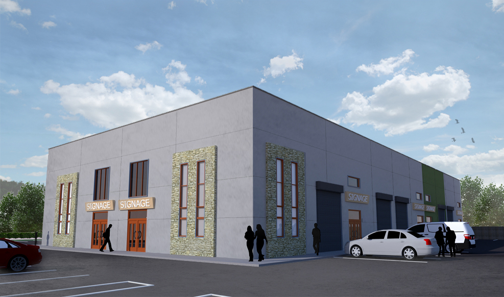
DULEEK BUSINESS PARK
Long-term layout planning across 35+ units
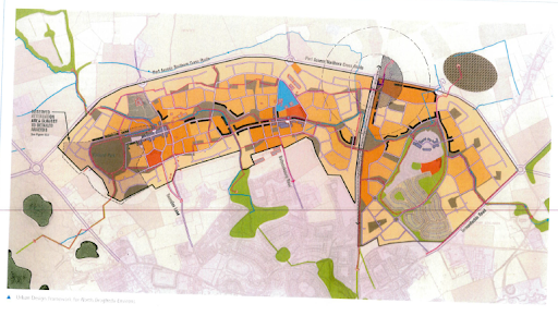
NORTH DROGHEDA ENVIRONS
Multi-landowner mapping and LAP integration
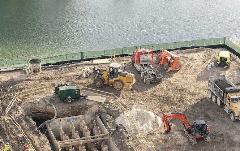
DROGHEDA PORT INDUSTRIAL LANDS
Title mapping, boundary strategy, and infrastructure overlays